SEPTEMBER / OCTOBER 2016:
FINDING WIND ON THE NORTH ATLANTIC

THE ART TO PLAY WITH WHAT IS BIGGER THAN YOU
As wind- and wayfinder with a great love for celestial and emergency navigation, I was prepared to find the way to the English Channel if necessary without any instruments, also without sextant. But all went well, the seawater stayed (mostly) where it belongs, chart room and navigation equipment survived dry and without damage.


CHASING THE WESTERLIES
We adjusted our course to the daily weather forecasts that we received as grib files via SSB and Pactor: knowing where the lows would go in the next days, we knew where we had to be. After Karl disappeared, sailing southeast for two days brought us to an area with wonderful warm southwesterly and later westerly winds, where we were flying over the water with more than 13 knots. Had we sailed straight east, or followed the even more northerly great circle route, we would be sitting in headwind on the Grand Banks now.
Around this time, the National Hurricane Center issued the first advisory about a new storm forming in the Caribbean Sea, later called Matthew. He was to become the strongest and longest-lived Atlantic hurricane of the past decade.


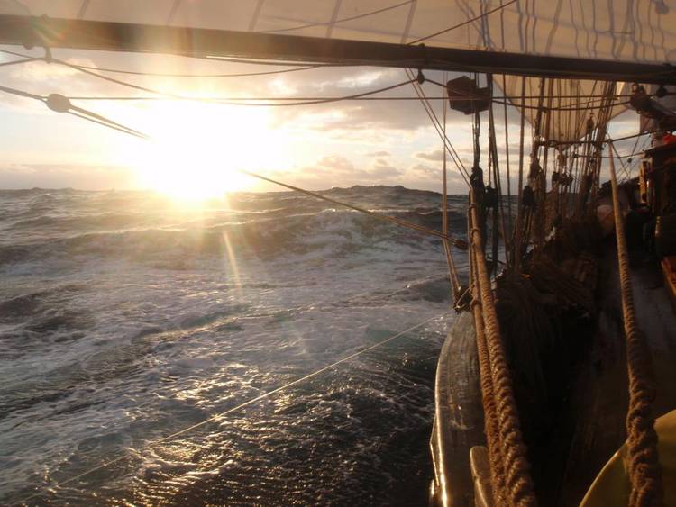
The less we could see, the more we would hear: the wind in the rigging, the breaking seas and the storm birds around us.


Satellite image below: Oct 4, 2016 - Hurricane Matthew makes landfall on Haiti. Credits: NASA Earth Observatory, image by Joshua Stevens


We reached the longitude of the Azores, a few hundred miles north of the islands, on October 4, the day that Matthew killed 900 people on Haiti.
So that was part one. But we were not yet home...
While Matthew was heading for Bahamas and Florida, a new tropical storm formed just east of him, called Nicole.
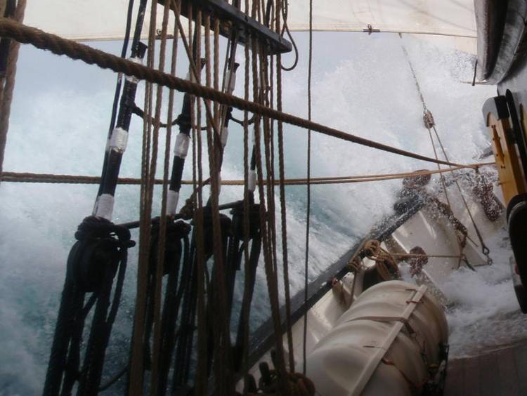
We took no time for the Azores, and went on with northeasterly course, with reefed sails in dark gray days and pitch-black starless nights, 8 Bft from the south. Rough seas and crazy amounts of water washing over the deck. But still nothing broke, except for some coffee mugs. Cooking became quite an adventure, everything flying around in the galley. But we even managed to bake fresh bread every night!
Oct 6, 2016: Matthew and Nicole. Image credits: NOAA


Meanwhile, Nicole had developed into another major hurricane - and she was really a beast, driving everybody crazy with sudden course changes, sometimes by 180 degrees. We were tacking at the entrance of the English Channel, when Nicole swept over Bermuda with 105 knots wind. Then she turned northeast with increasing speed... obviously not afraid of cold water.
We kept tacking. For the first time on the whole voyage we had the wind against us - for days...
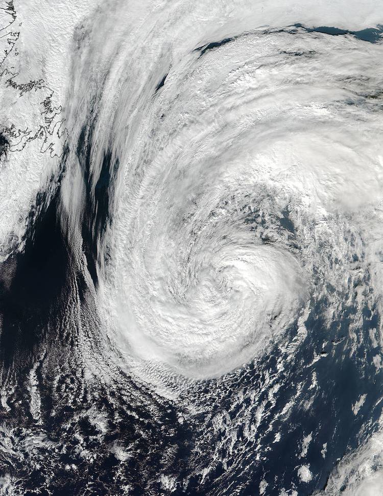
Satellite image showing Nicole on Oct 17 over the North Atlantic, the day she reached our latitude. On the left, Newfoundland.
Credits: NASA Goddard MODIS Rapid Response/NOAA

SO, WE MADE IT... !!! No engine. Fast sailing and good timing :-)
Windvinder.

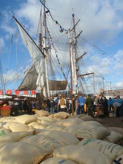

Tres Hombres is already underway to the Caribbean again, to get the next shipload of rum, cacao and coffee. Bon voyage, guys! Fair winds and following seas... :-)

And I have my hands free again for Thor and Project Windvinder! If you want to sail with us the coming years, and help develop the next generation of purely headwind powered oceangoing vessels, welcome on board! Please send an email. Info about the Next-Generation Windfinder voyage  here.
here.
More about Tres Hombres:  www.fairtransport.eu
